
untitled
ount Aragats (Armenian: Արագած, also: Ալագյազ - Alagyaz ) is a large andesitic-to-dacitic stratovolcano in northwest Armenia about 40 km northwest of the capital city of Yerevan. It is the highest point in Armenia, located in the province of Aragatsotn, northwest from Yerevan. On its slopes are the Byurakan Observatory and the medieval Amberd Fortress. The observatory is a historically significant facility responsible for a number of important photographic surveys. Mount Aragats is a popular destination for tourists, especially in summer.
The 4,090 m (13,419 ft) high main edifice of Aragats is dissected by glaciers and is of Pliocene-to-Pleistocene age. However, parasitic cones and fissures are on all sides of the volcano and were the source of large lava flows that descended its lower flanks.
Several of these were considered to be of Holocene age, but later Potassium-Argon dating indicated mid- to late-Pleistocene ages. The youngest lower-flank flows have not been precisely dated but are constrained as occurring between the end of the late-Pleistocene and 3000 BC (Kharakanian et al., 2003). A 13-km-long, WSW-ENE-trending line of craters and pyroclastic cones cuts across the northern crater rim and is the source of young lava flows and lahars; the latter were considered to be characteristic of Holocene summit eruptions.
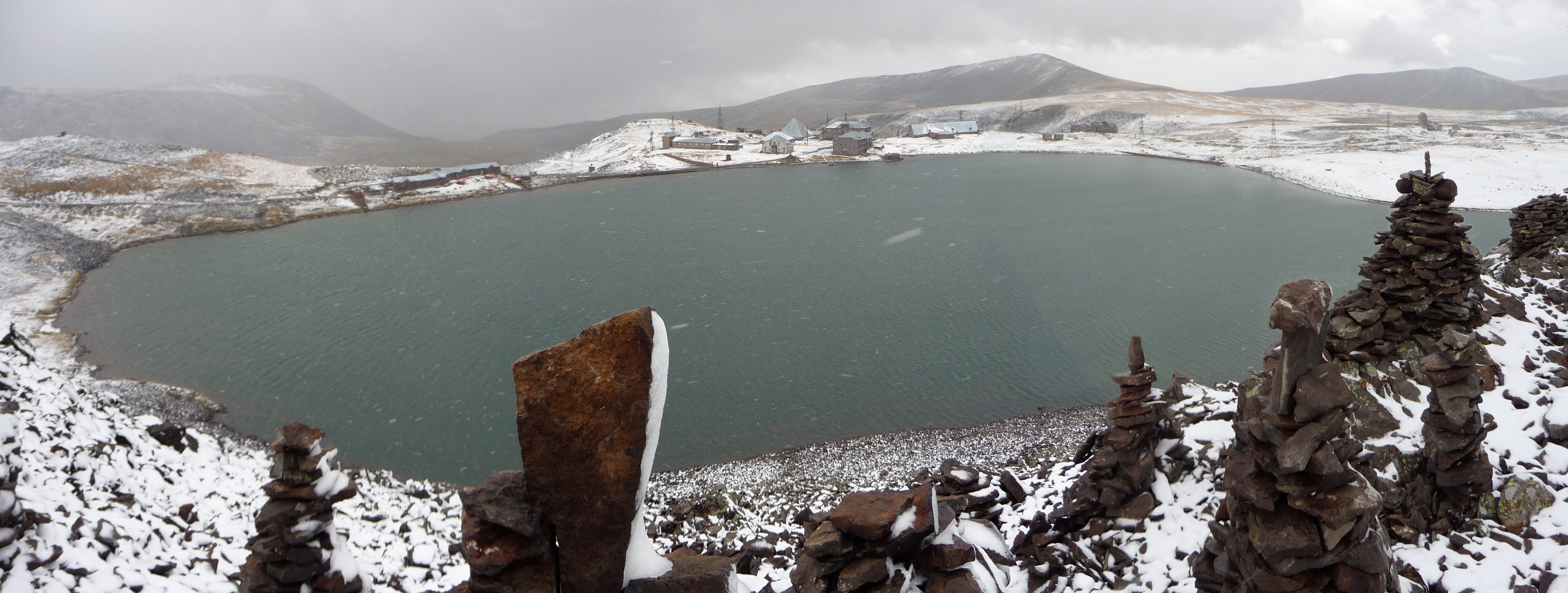
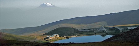
Lake Kari (Lake Qari, Armenian: Քարի լիճ) is a lake in Armenia located in the slopes of Mount Aragats mostly formed by ice and snow. It is located 3,190 m above the sea level and has a perimeter of 1,150 m. From Byurakan village an asphalted automobile road stretches towards the source of Arkashen River, the lake Kari, located on a plateau below the peaks. On the eastern side of the lake there is a meteorological station.